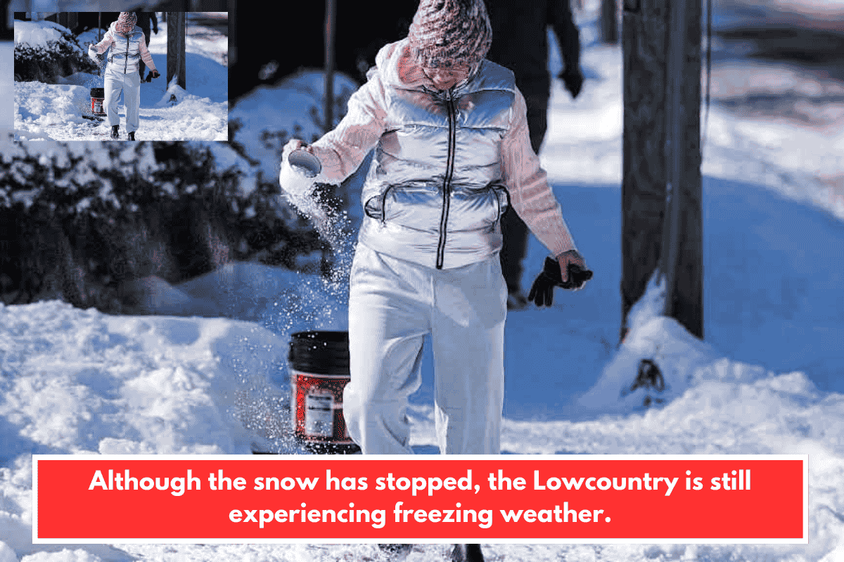
Charleston, South Carolina, rarely sees snow, making this Lowcountry winter event a notable outlier. The storm blanketed the area Sunday morning with accumulations from 0.7 to 5 inches amid arctic air and wind chills dipping to 5°F.
Snowfall Totals
- Murrells Inlet: 5 inches
- Awendaw/Andrews area: ~3 inches
- Goose Creek: 2.25 inches
- Moncks Corner: 2 inches
- North Charleston: 1 inch
- Johns Island/Ladson: 1 inch
- Charleston Airport: 0.7 inches (new daily record, topping 1977’s 0.6 inches)
Weather Impacts
Temperatures hovered in the low 30s Sunday daytime, melting snow, but overnight drops to the upper 20s risked black ice refreezing roads into Monday. Officials urged minimal travel due to slick conditions, especially relevant for your South Carolina interests in public safety and Lowcountry updates.
This aligns with the broader Southeast bomb cyclone, bringing fluffy snow ratios (15:1+) from a dry airmass—uncommon so far south. Stay safe if hiking or out locally.