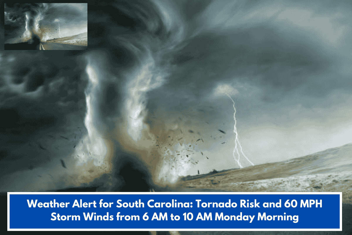
Western Carolinas, including Upstate SC and western NC, face an Enhanced Risk (Level 3/5) of severe thunderstorms early Monday, March 16, 2026, per NWS Greenville-Spartanburg.
Timing and Areas
Storms hit mountains (e.g., Asheville, NC High Country) 3-7 a.m., then Upstate/Piedmont (Greenville, Spartanburg, Rock Hill, Anderson, Charlotte) 6-10 a.m.—right during morning commute.
Key Hazards
- Damaging straight-line winds: Snap trees, down power lines.
- Isolated tornadoes: Highest odds east of mountains, along/east I-77, south of I-85.
- Mobile homes especially at risk.
Prep Advice
Set multiple alert methods (apps, radio) for overnight warnings. Relocate from mobile homes to sturdy shelter. Storms clear east by late morning. Ties into broader SE severe pattern—stay updated locally.