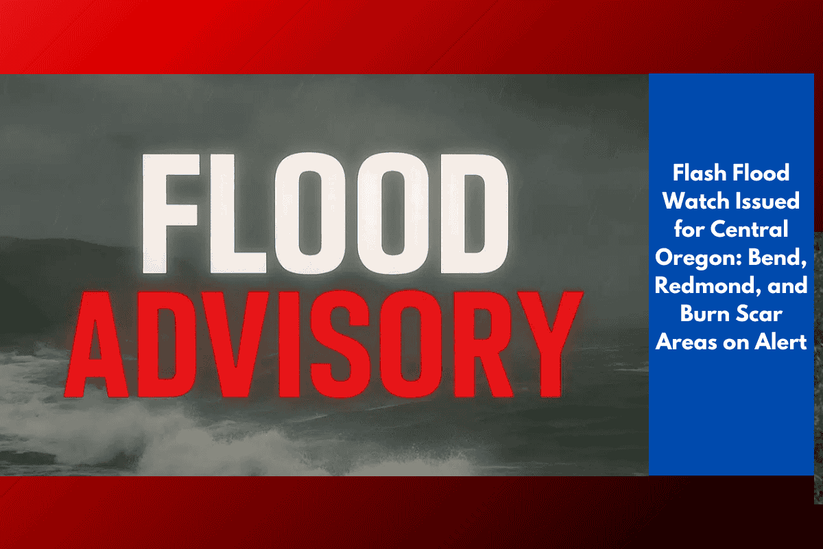
A Flash Flood Watch is now in effect across central and eastern Oregon, including cities like Bend, Redmond, Sisters, and John Day. The National Weather Service has issued the warning due to slow-moving thunderstorms forecasted to hit the region through Wednesday and into Thursday evening.
Heavy rainfall over recent wildfire burn scar areas is expected to create a serious risk of flash flooding and debris flows.
Up to 1.5 Inches of Rainfall Expected
According to the Weather Service office in Pendleton, storms could drop up to 1.5 inches of rain in mountain and canyon regions, particularly in areas affected by past wildfires. Regions at highest risk include the Cascades, Blue Mountains, and the John Day Basin—where loose, scorched soil can easily give way, sending water, mud, and rocks rapidly downslope.
Even moderate rainfall can turn dangerous in these fragile landscapes.
Cities at Risk and What to Watch For
The following areas fall under the Flash Flood Watch:
Bend
Redmond
Sisters
La Pine
John Day
Ukiah
Key safety tips for residents:
Avoid low-lying roads, especially in or near canyons
Stay away from dry stream beds that can flood without warning
Be ready with emergency plans and evacuation kits if you live near recent burn areas
Listen for weather updates and alerts on your phone or local news
Burn Scars Pose Serious Danger
Wildfire burn scars leave behind unstable soil and vegetation, making them especially dangerous during heavy rain. The soil can’t absorb water properly, and slopes are more prone to collapsing. This can cause:
Flash floods
Mudslides
Rock falls
Even brief but intense rainfall can lead to dangerous situations within minutes.
Watch Continues Through Thursday Evening
The Flash Flood Watch is expected to remain active through Thursday evening, but could be extended if storms continue to develop. Additional advisories or warnings may also be issued.
Residents in affected areas are urged to stay alert, follow official guidance, and avoid travel in at-risk zones during storms.