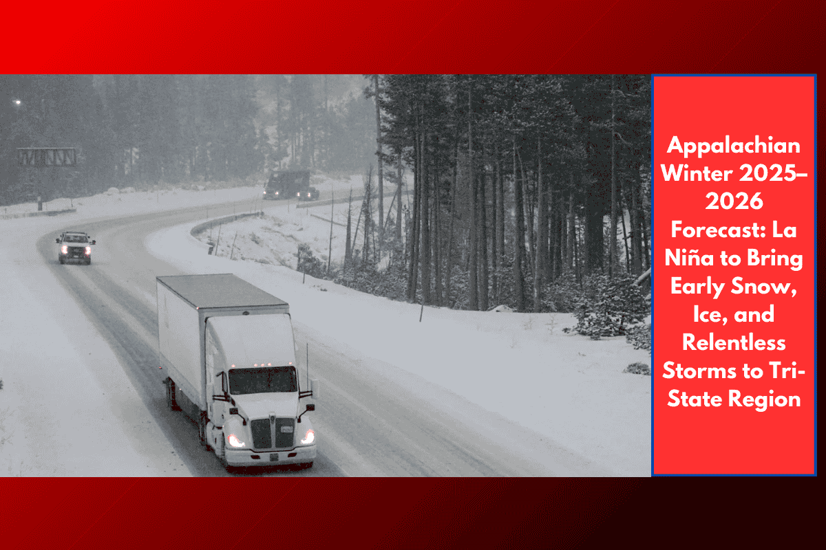
PITTSBURGH, Pa. — Residents across western Pennsylvania, eastern Ohio, and northern West Virginia should prepare for a long, stormy winter, as La Niña conditions are expected to dominate the 2025–2026 season. Forecasters from NOAA’s Climate Prediction Center say this winter could bring early snow, above-normal precipitation, and repeated ice events across the region.
With the first flakes possibly arriving by September in higher elevations, and no real break expected until February, it’s shaping up to be a challenging season for travel, power, and daily life.
“Chill, Snow, Repeat” – A Winter Without Pause
The La Niña weather pattern typically pushes a strong storm track across the Ohio Valley and western Appalachians, and this year is no exception. This setup brings:
Heavy snow bursts for cities like Pittsburgh, Youngstown, and Morgantown
Freezing rain and sleet in low-lying river valleys
Persistent cold and wet weather from early winter through late February
The Farmers’ Almanac describes the season as one of nonstop wintry patterns, urging the region to prepare for “Chill, Snow, Repeat.”
Key Risk Zones and Travel Hazards
Major highways and interstates in the tri-state area are expected to see frequent winter-related disruptions:
I-70, especially through the hilly stretches of Ohio and Pennsylvania
I-79, connecting Morgantown to Pittsburgh
The Pennsylvania Turnpike, a known trouble spot for early-season black ice and heavy snow
Expect slick commutes, multi-vehicle pileups, and accumulated snowfall to impact travel, especially during morning and evening rush hours.
Power Outage Risk Grows in Rural Areas
Northern West Virginia and parts of eastern Ohio may be at particular risk from ice storms, which often weigh down trees and power lines in rural and wooded regions. Utility companies are already prepping crews and trimming vulnerable lines in anticipation of:
Tree-related outages
Road blockages due to fallen limbs
Extended restoration times in remote communities
Winter to Linger Through February
The La Niña influence is expected to last into February, with little chance for extended breaks between storm systems. Cold air from the north will continuously clash with moist air from the south, creating an ongoing pattern of snow, sleet, and freezing rain across the entire region.
How to Get Ready Now
Residents across western PA, eastern OH, and northern WV are advised to begin winter preparations early. Here’s a quick checklist:
Winterize your vehicle (tires, battery, fluids)
Stock up on heating fuel, water, and canned goods
Assemble an emergency kit with flashlights, batteries, blankets, and first aid
Sign up for NOAA weather alerts and local advisories
Have a backup power plan in case of outages
Areas to Watch Closely
| Region | Main Winter Risk |
|---|---|
| Pittsburgh & SW PA | Early snow, freezing rain, traffic delays |
| Youngstown & NE Ohio | Heavy snow bursts, ice, airport impacts |
| Morgantown & WV hills | Icy roads, rural outages, power line stress |
| River valleys (OH/WV border) | Freezing rain, black ice, road hazar |

