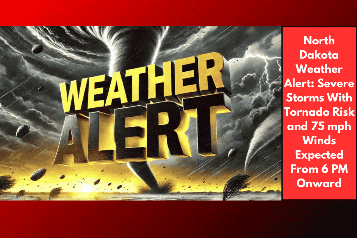
Eastern North Dakota is bracing for a powerful round of severe weather starting Thursday evening, with dangerous storms expected to hit after 6 p.m. According to the National Weather Service in Grand Forks, the threat includes tornadoes, 75 mph wind gusts, and tennis ball-sized hail, especially before 10 p.m.
Areas Most at Risk
A Level 2 (Slight) Risk has been issued for much of eastern North Dakota. Cities under this alert include Grand Forks, Fargo, and Devils Lake. These areas should prepare for scattered but strong storms that could develop quickly and intensify fast.
Storms may pop up with little warning and move quickly, making it harder to respond once they arrive. The chance for a tornado is highest early in the evening, but the risk of strong winds and hail will continue through the night.
Main Threats From Thursday Evening Through the Night
The biggest concerns from these storms are:
Wind gusts up to 75 mph
Large hail up to the size of tennis balls
Isolated tornadoes before 10 p.m.
Reduced visibility during downpours and hail
Potential power outages and property damage
While the tornado threat may drop after the early evening, the storms could continue overnight and still pack a punch. Some of the strongest cells may roll through when most people are asleep, which makes it harder to receive alerts or take shelter quickly.
What Residents Should Do Now
People in the warning zones are strongly advised to get ready early in the evening and remain alert overnight. Emergency managers recommend:
Charging phones and backup batteries
Enabling emergency alerts on your mobile devices
Keeping a flashlight and weather radio near your bed
Securing outdoor items like patio furniture or trash bins
Staying off the roads during active storm periods if possible
Travel may become dangerous at times, especially along stretches of I-29 and US-2, where visibility could drop suddenly in heavy rain or hail.
When Will the Risk End?
The severe weather risk is expected to weaken toward early Friday morning, but additional watches or warnings could still be issued if storms redevelop. The situation remains active, and residents should continue checking for updates from the National Weather Service or local authorities overnight.
Thursday night in eastern North Dakota could be stormy and dangerous, with severe storms bringing a mix of high winds, large hail, and a tornado risk. From Grand Forks to Fargo, anyone in the Level 2 risk zone should prepare for the possibility of fast-developing and intense storms. As much of this threat continues into the overnight hours, it’s important to have a reliable way to receive alerts—even while you’re asleep. Being prepared could make all the difference in staying safe.

