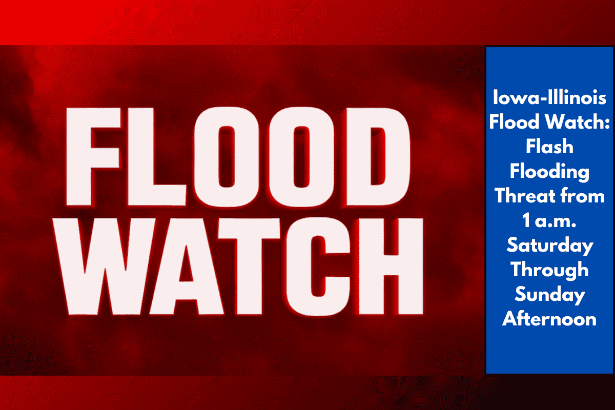
A Flood Watch has been issued across eastern Iowa and western Illinois, with a risk of flash flooding starting as early as 1 a.m. Saturday and continuing through Sunday afternoon. The National Weather Service is warning of multiple rounds of thunderstorms that could cause rapid flooding in urban areas and regions with poor drainage. This warning comes just after the area experienced heavy rainfall that has already saturated the ground.
Flash Flood Risk for Key Cities
Cities including Cedar Rapids, Davenport, Rock Island, and Burlington are all under threat from heavy storms that could lead to flash flooding. Urban areas, especially those with inadequate drainage systems, are more likely to see rapid flooding. The combination of last week’s rainfall and new storms means the ground is already saturated, increasing the risk of flooding across Benton, Linn, Scott, Henry, and other nearby counties.
Threat to Low-Lying Areas and Key Highways
Local officials are urging residents in low-lying neighborhoods and along rivers and creeks, such as Iowa City, Muscatine, Macomb, and Moline, to be on high alert. Highways including I-74, I-80, and US-61 could face closures or hazardous driving conditions if waters rise. Flash floods can occur quickly, making it dangerous for anyone caught in these conditions.
Precautionary Actions for Residents
It’s important for people to be prepared for sudden flooding. Residents should make sure they have a plan to move to higher ground if needed, keep their phones charged for emergency alerts, and avoid traveling through flooded areas. Flash floods can happen with little warning, so staying updated on weather conditions is crucial. The Flood Watch will remain in effect at least until Sunday afternoon, with the possibility of additional warnings if conditions worsen.
With the Flash Flood Watch in effect for eastern Iowa and western Illinois, residents should take necessary precautions to stay safe. The heavy rainfall, combined with saturated soil and the risk of further storms, could lead to significant flooding in urban and low-lying areas. It’s important to stay alert, keep updated on weather alerts, and avoid driving in flooded areas. With conditions changing rapidly, it’s vital to stay prepared for potential flooding through Sunday afternoon.