The National Oceanic and Atmospheric Administration (NOAA) is sounding the alarm: the 2024 Atlantic hurricane season is expected to be busier than usual. According to a fresh outlook from the Climate Prediction Center, there’s an 85% chance this season will be above-normal in activity.
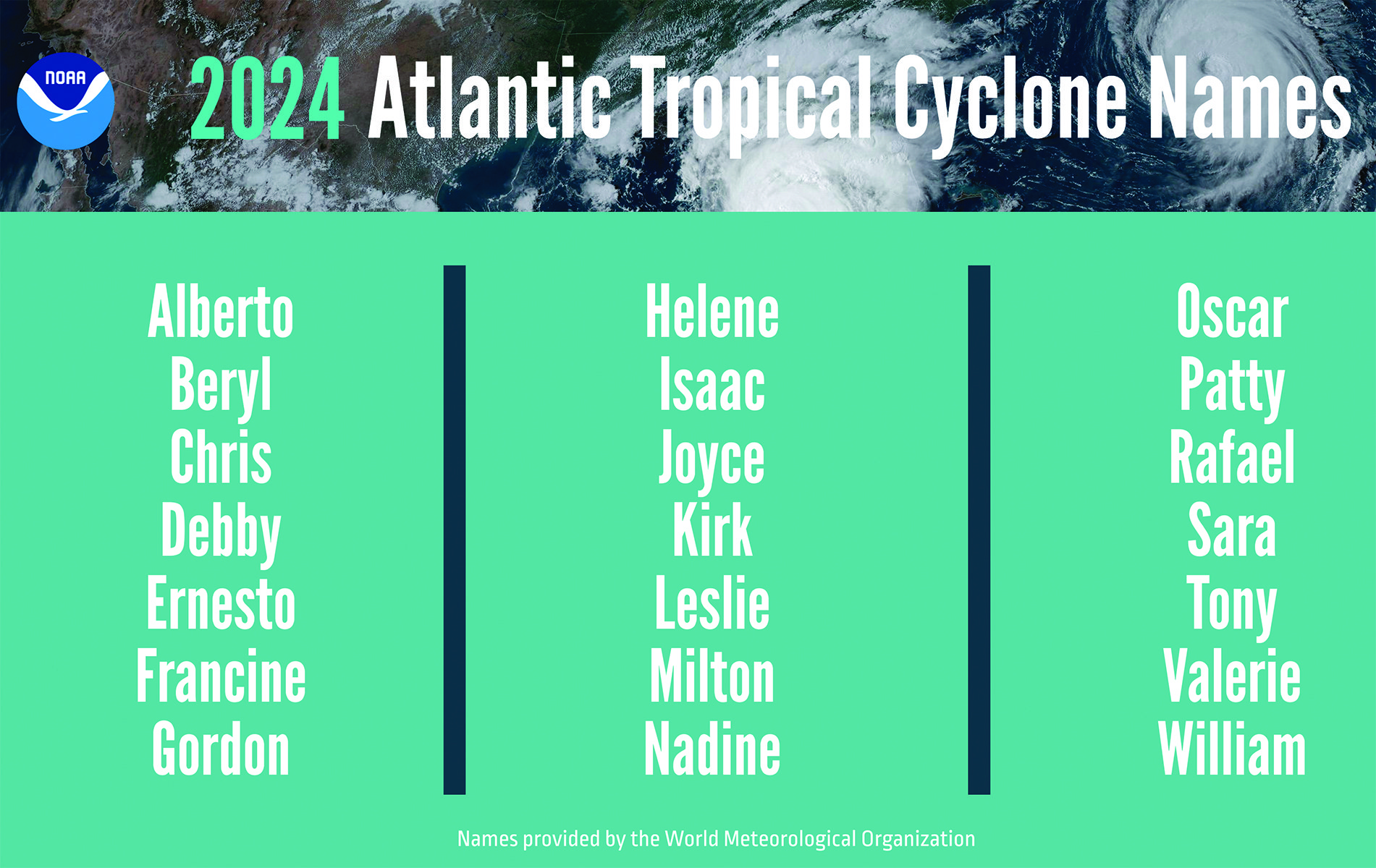
Running from June 1 to November 30, this year’s season could see between 17 to 25 named storms (with winds of 39 mph or higher), of which 8 to 13 may become hurricanes (winds of 74 mph or higher). Among these, 4 to 7 are predicted to intensify into major hurricanes—packing winds of at least 111 mph. NOAA is 70% confident in these projections.
Why So Active?
Several climate factors are lining up to fuel an active season:
- Near-record warm Atlantic Ocean temperatures – a key ingredient for hurricane formation.
- Developing La Niña conditions in the Pacific – which reduce wind shear in the Atlantic, making it easier for storms to develop.
- Weaker trade winds – allowing hurricanes to strengthen more easily.
- A stronger West African monsoon – often a trigger for powerful storm systems in the Atlantic.
- Global climate change – warmer oceans and rising sea levels add more energy to storms and increase the potential for storm surge.
“With another active hurricane season approaching, NOAA’s commitment to keeping every American informed with lifesaving information is unwavering,” said NOAA Administrator Rick Spinrad, Ph.D.
FEMA is also urging Americans to be proactive. “Severe weather and emergencies can happen at any moment,” said FEMA Deputy Administrator Erik Hooks. “Taking a proactive approach today can make a big difference in how people recover tomorrow.”
What’s New in 2024?
NOAA is stepping up its efforts to enhance communication and preparedness this season. Here’s what’s coming:
- Expanded Spanish-language forecasts for all Atlantic basin public advisories, tropical cyclone discussions, updates, and key messages.
- A new experimental forecast cone graphic, launching around August 15, will show inland watches and warnings for tropical storms and hurricanes across the continental U.S.
- More frequent advisory updates – the National Hurricane Center can now issue watches and warnings in intermediate advisories instead of waiting for the standard six-hour update window.
As we head into hurricane season, staying informed and having an emergency plan in place is more important than ever.