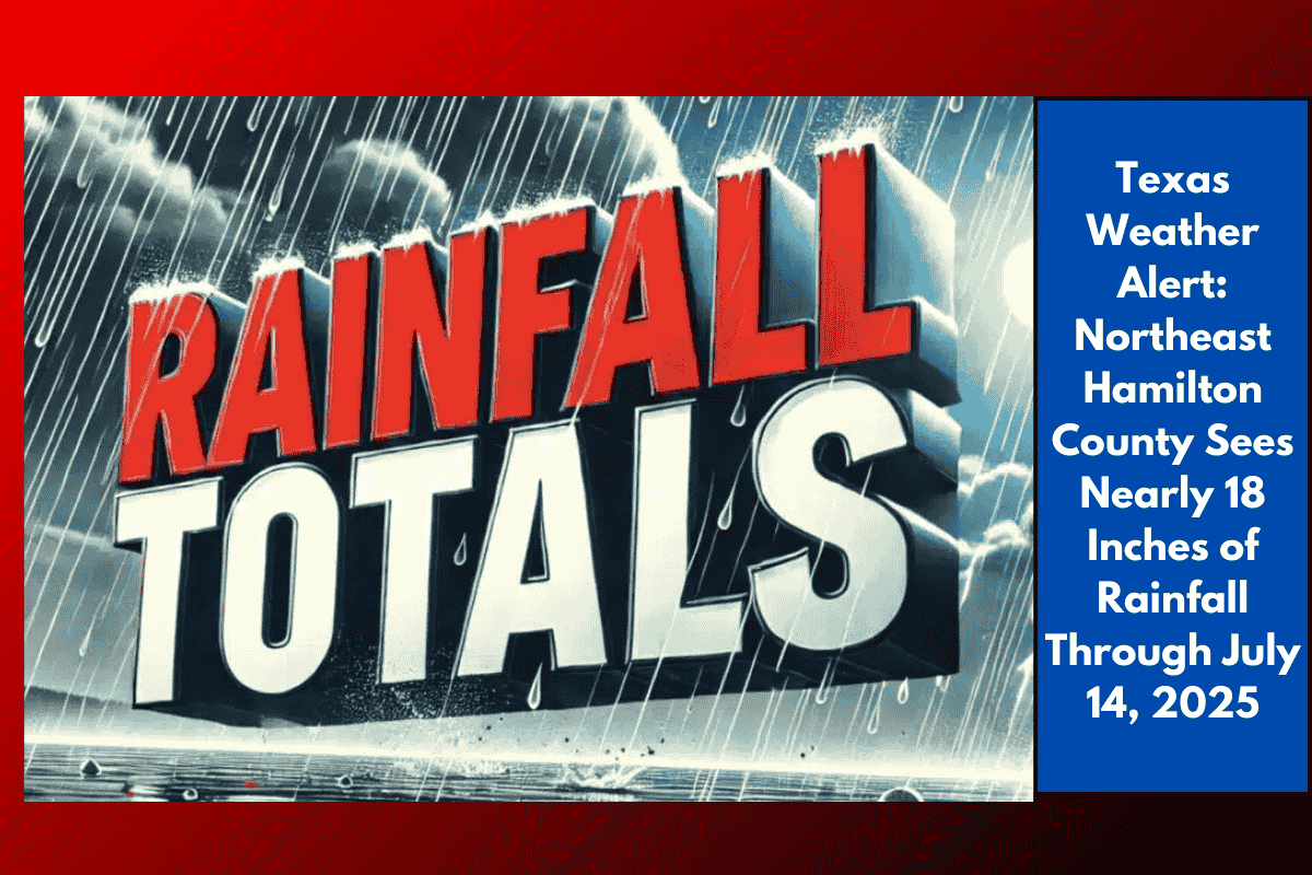
Fort Worth, Texas – Central Texas is experiencing its wettest July in years, as torrential rains continue to soak the region. Radar estimates show nearly 18 inches of rain falling in northeast Hamilton County alone through July 14.
The National Weather Service in Fort Worth reports that rainfall totals across the area southwest of the Metroplex have ranged from 10 to over 17 inches since July 1. The hardest-hit counties, including Brown, Hamilton, Comanche, and Mills, are marked in pink and purple zones on NOAA’s map. The highest observed rainfall total, 17.82 inches, was recorded in northeast Hamilton County.
Flooding and Road Closures
Flooding has caused significant disruptions, particularly affecting roads and low-lying areas near Stephenville, Brownwood, and Waco, with several county roads remaining closed. Local officials are urging drivers to avoid flooded crossings, obey barricades, and be cautious of rapidly rising creeks. Residents are also advised to clear gutters, move vehicles from low-lying areas, and stay alert by monitoring emergency notifications as more storms are expected.
Unusual Rainfall for Mid-July
This much rainfall in mid-July is quite unusual for central Texas. The region hasn’t seen this level of flash flooding since 2007. With more showers possible through next week, additional advisories or warnings may be issued.
Flood Watches and Future Weather
Flood watches remain in effect across the region through Monday, with more rainfall expected in the coming days. Stay tuned for updates and be prepared for possible new warnings as the weather situation continues to evolve.