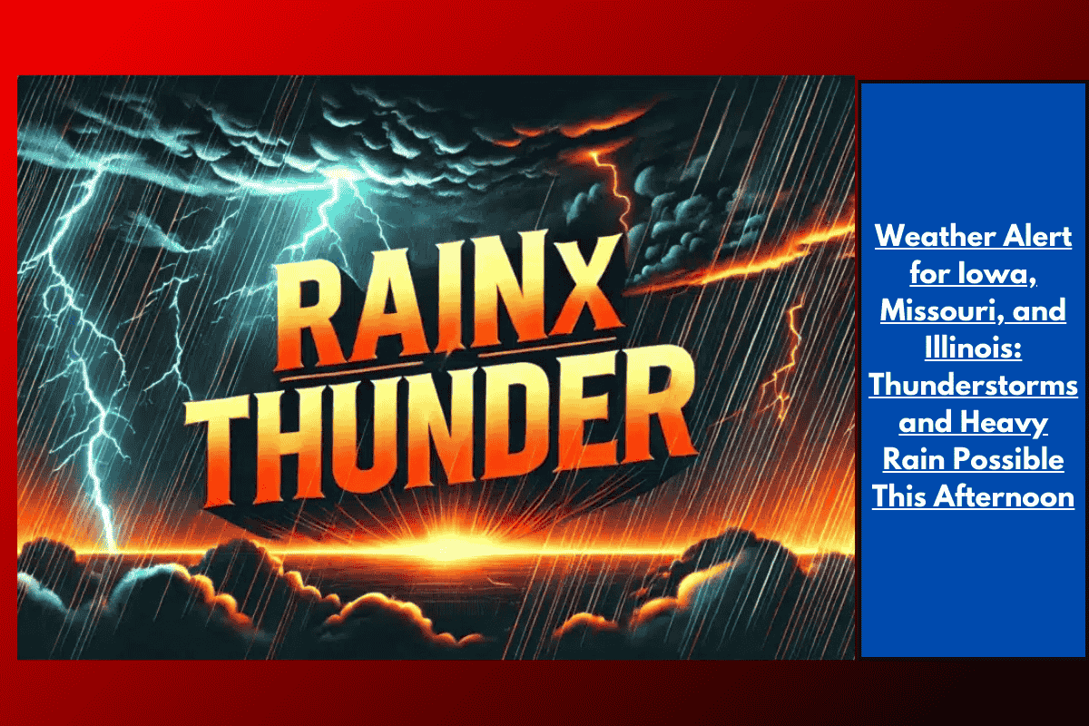
Galesburg, Illinois – Scattered, slow-moving showers are set to affect southeast Iowa, northeast Missouri, and west-central Illinois through the late afternoon on Monday, with soaking downpours that may create travel hazards on roads and in neighborhoods. The National Weather Service Quad Cities reports that brief, heavy rainfall is the primary concern, although isolated lightning strikes may also occur.
Storm Threat and Timing
The showers are expected to concentrate along a corridor stretching from Memphis, Missouri, to Galesburg, Illinois, until 4 p.m. CDT. Areas like Galesburg, Macomb, and Burlington could experience rapidly changing road conditions, with standing water accumulating on streets during the heaviest rain. Highways such as U.S. 34 and Route 136 could become slick or prone to flooding during the peak showers.
Travel Hazards and Safety Tips
Motorists should be cautious, as reduced visibility and ponding water on roads could make travel hazardous. If thunder is heard, residents are urged to move indoors and avoid driving through flooded or slick areas. Hydroplaning is a risk on roads with standing water. Though this weather event is not widespread, isolated downpours can develop quickly and lead to temporary travel delays.
Unsettled Weather in the Region
Today’s showers mark a return to unsettled summer weather along the Iowa-Illinois-Missouri border, similar to short-lived storms seen earlier this summer. The showers are expected to taper off by early evening, but residents should stay alert for any further weather updates or advisories.
If you’re traveling through or living in the affected areas, stay cautious of rapidly changing weather conditions. Be ready for heavy rain, potential flooding, and the possibility of lightning through the afternoon.